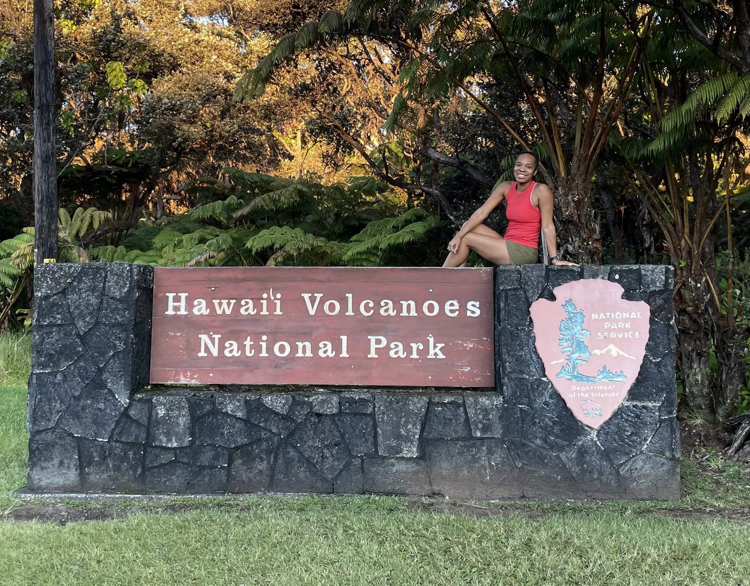
#5 Hawai'i Volcanos National Park, Hawaii
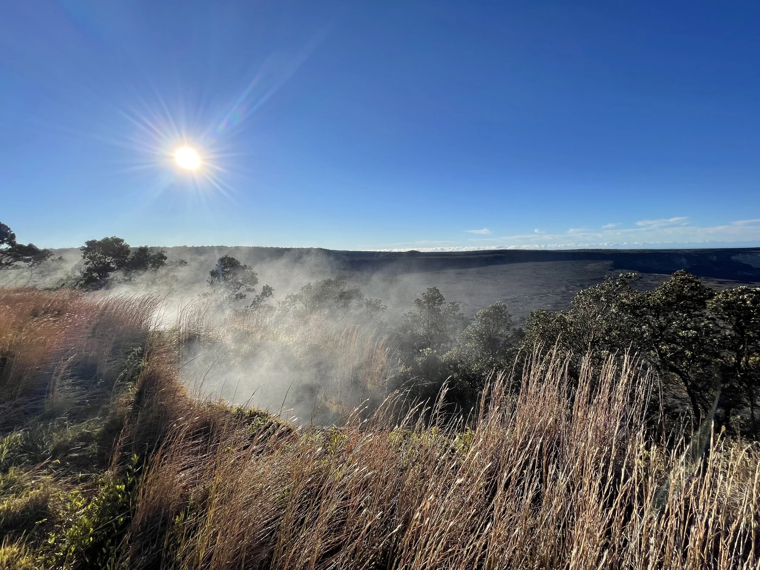
Hawaiʻi Volcanoes National Park is located on the Big Island of Hawaii and protects one of the most active volcanic areas on the planet. The park includes both Kīlauea and Mauna Loa, which continue to shape the landscape through ongoing geological change. Visitors can see craters, lava fields, steaming vents, and large stretches of hardened terrain that formed from past eruptions. The park also contains rainforest, coastal cliffs, and rare ecosystems that exist only in Hawaii.
The land holds cultural importance for Native Hawaiians. The volcanic activity and the surrounding landscape are deeply connected to Hawaiian history and traditions. Visitors can learn about this connection through ranger programs and exhibits throughout the park.
Visitor Centers
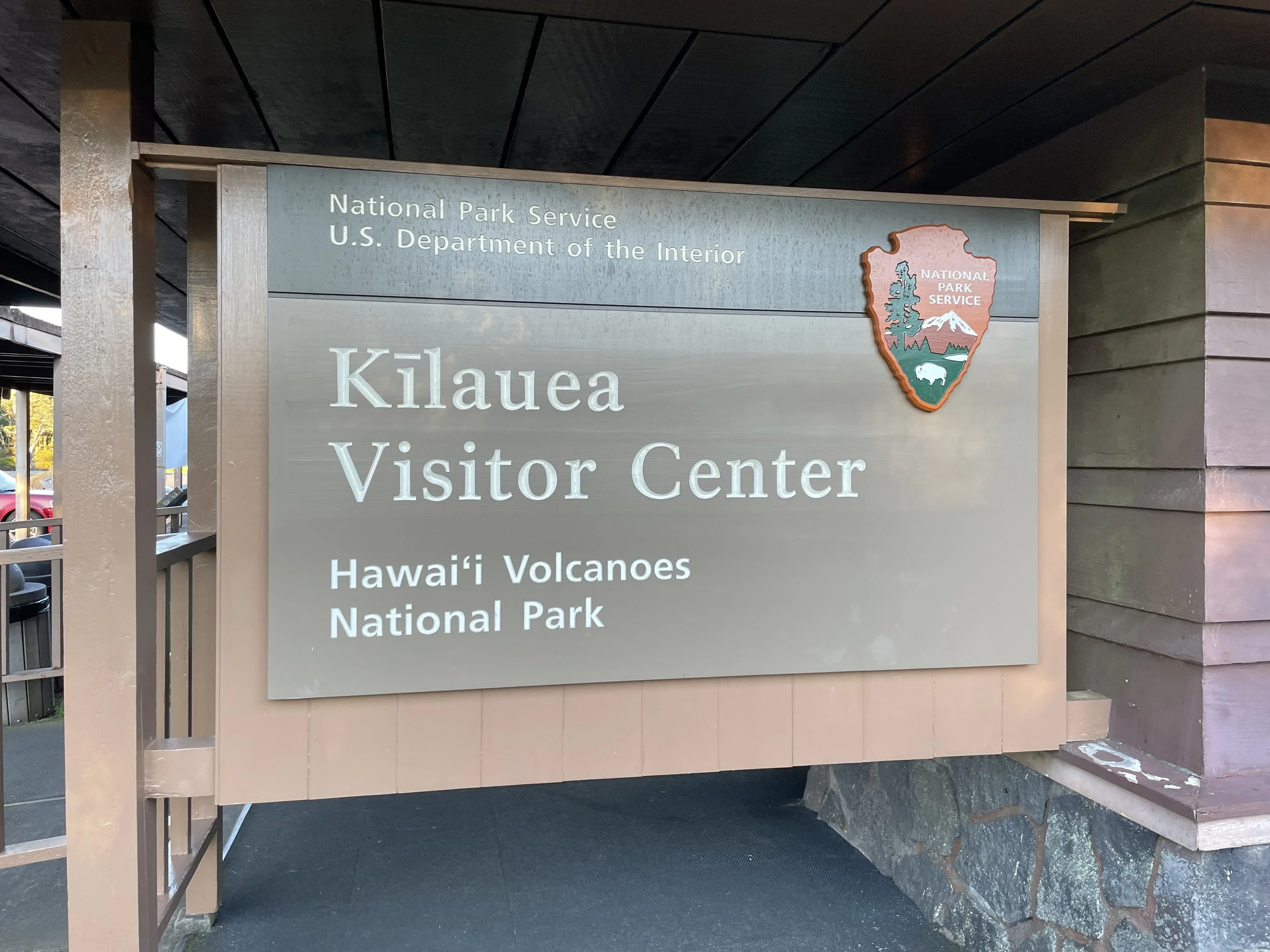
Kīlauea Visitor Center
Located near the park entrance on Crater Rim Drive
Open daily and provides maps, current conditions, and ranger information
https://www.nps.gov/havo/planyourvisit/kilauea-visitor-center.htm
Volcano Art Center Gallery
Across from Kīlauea Visitor Center
Features local artwork and cultural programs
https://volcanoartcenter.org
Entrance Fees
As of 2023
• Vehicle entry is $30 for a seven day pass
• Motorcycles are twenty $5 for a seven day pass
• Entry on foot or bicycle is $15 per person for seven days
• Hawaiʻi Volcanoes annual pass is $55
• America the Beautiful Pass is accepted
For current information
https://www.nps.gov/havo/planyourvisit/fees.htm
Getting There
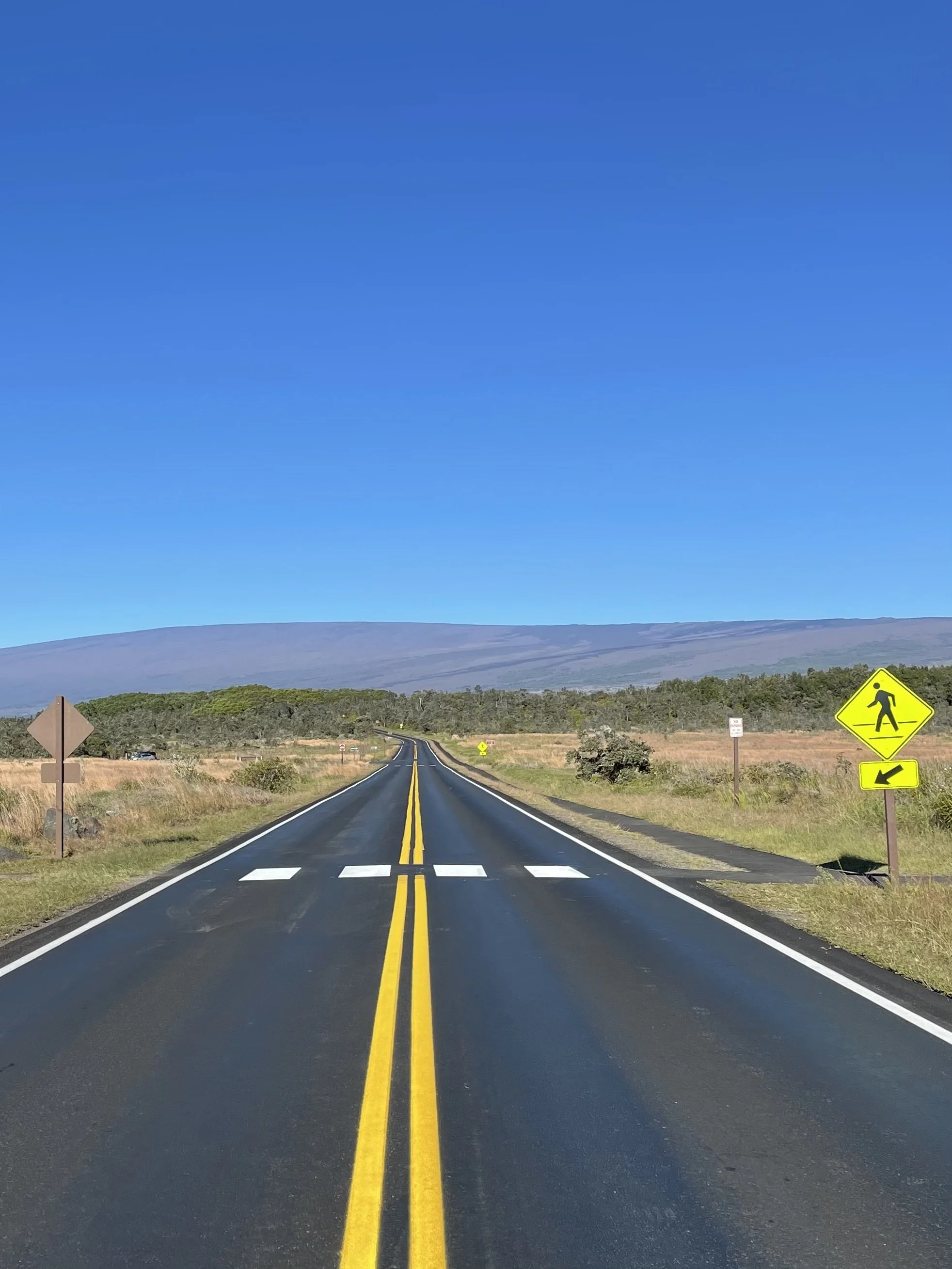
Most visitors arrive by car from Hilo which is about a forty 45 minute drive. The park entrance is located on Highway 11. Fuel and food options are limited once inside the park so it is best to plan before entering.
Popular Stops and Trails
Crater Rim Drive
A scenic road with overlooks of Kīlauea caldera and steam vents. Some sections may close during periods of volcanic activity.
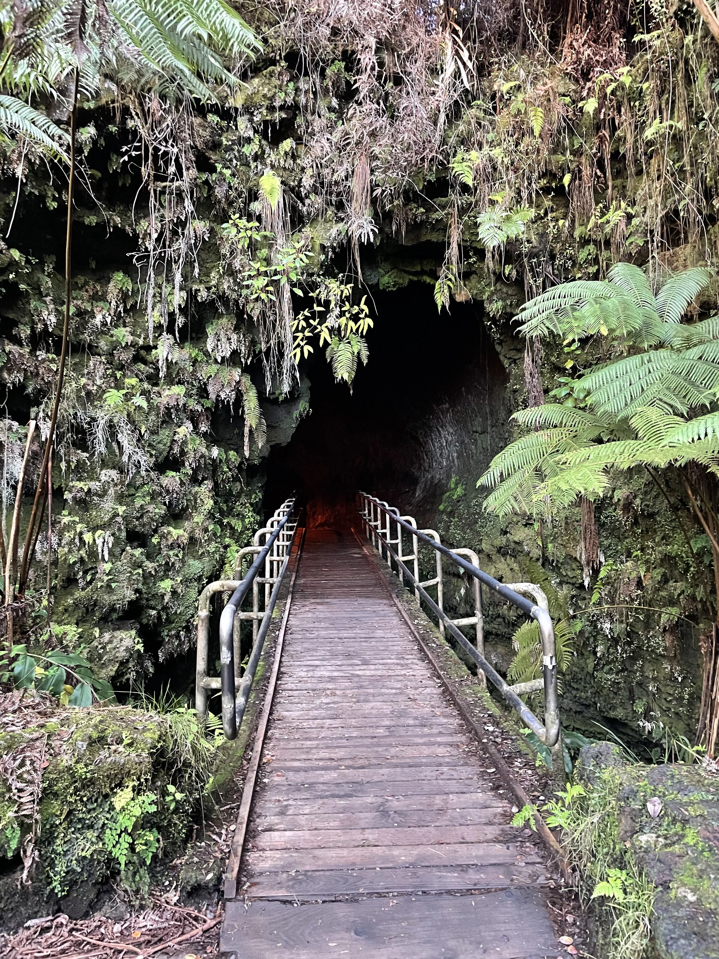
Thurston Lava Tube
A short walk through a large lava formed tunnel surrounded by rainforest
https://www.nps.gov/havo/planyourvisit/lava-tubes.htm
Chain of Craters Road
A drive that descends toward the coast with views of older lava flows and sea cliffs. There are no services at the end of the road.
Devastation Trail
A paved and level walk through a landscape created by the 1959 Kīlauea Iki eruption
https://www.nps.gov/havo/planyourvisit/devastation-trail.htm
Current trail and viewing access can change quickly
https://www.nps.gov/havo/planyourvisit/conditions.htm
Accessibility
Paved paths are available at Devastation Trail and around the Kīlauea Visitor Center area. Some overlooks and parking areas also have accessible viewing. Terrain away from paved routes can be uneven due to hardened lava.
Camping and Lodging
There are two drive in campgrounds
• Nāmakanipaio
• Kulanaokuaiki
Backcountry permits are required for wilderness camping
https://www.nps.gov/havo/planyourvisit/camping.htm
Lodging is available outside the park in Volcano Village and Hilo.
Notable Tips
• Check volcanic activity and air quality before arrival
• Weather can change quickly at higher elevations
• Bring water and food since services are limited
• Cell service is not consistent in all areas of the park